|
GNSS - GLOBAL NAVIGATION SATELLITE SYSTEM
Please use our A-Z INDEX to navigate this site or return HOME
|
|
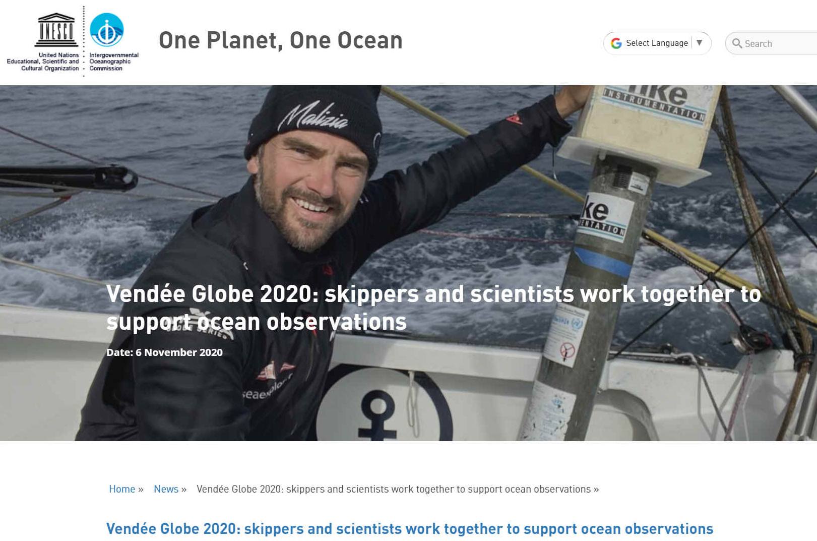
GNSS - The Global Navigation Satellite System provides accurate positional fixing services that is available to everyone around the world by combining forces. Sailors like those racing on the Vendee Globe, rely on such services.
The GNSS is an essential element for the control and monitoring of any autonomous vessel. Typically, such a system in linked to navigation hard and software, such as the proposed Captain Nemo and Hal, onboard the Elizabeth Swann. Even more important when in confined waters, such as navigating ports, harbors and marinas.
GNSS stands for Global Navigation Satellite System, and is the standard generic term for satellite navigation systems that provide autonomous geo-spatial positioning with global coverage. This term includes e.g. the GPS, GLONASS, Galileo, Beidou and other regional systems. How does that compare and what are the differences?
GPS
The term GPS is specific to the United States' GNSS system, the NAVSTAR Global Positioning System.
The United States NAVSTAR Global Positioning System (GPS) and the Russian GLONASS were the only fully operational GNSS
in 2013, hence most people refer to satellite navigation systems as GPS.
2. Integrity: a system’s capacity to provide a threshold of confidence and, in the event of an anomaly in the positioning data, an alarm;
3. Continuity: a system’s ability to function without interruption;
4.
Availability: the percentage of time a signal fulfils the above accuracy, integrity and continuity criteria.
This performance can be improved by regional satellite-based augmentation systems (SBAS), such as the European Geostationary Navigation Overlay Service (EGNOS). EGNOS improves the accuracy and reliability of GPS information by correcting signal measurement errors and by providing information about the integrity of its signals.
LINKS & REFERENCE
https://velodynelidar.com/ https://www.gsa.europa.eu/egnos/what-egnos https://www.gsa.europa.eu/european-gnss/what-gnss
|
|
|
Please use our A-Z INDEX to navigate this site or return HOME
This website is Copyright © 2020 Jameson Hunter Ltd
|

