|
GEOSPATIAL AI - HARD/SOFTWARE
Please use our A-Z INDEX to navigate this site or return HOME
|
|
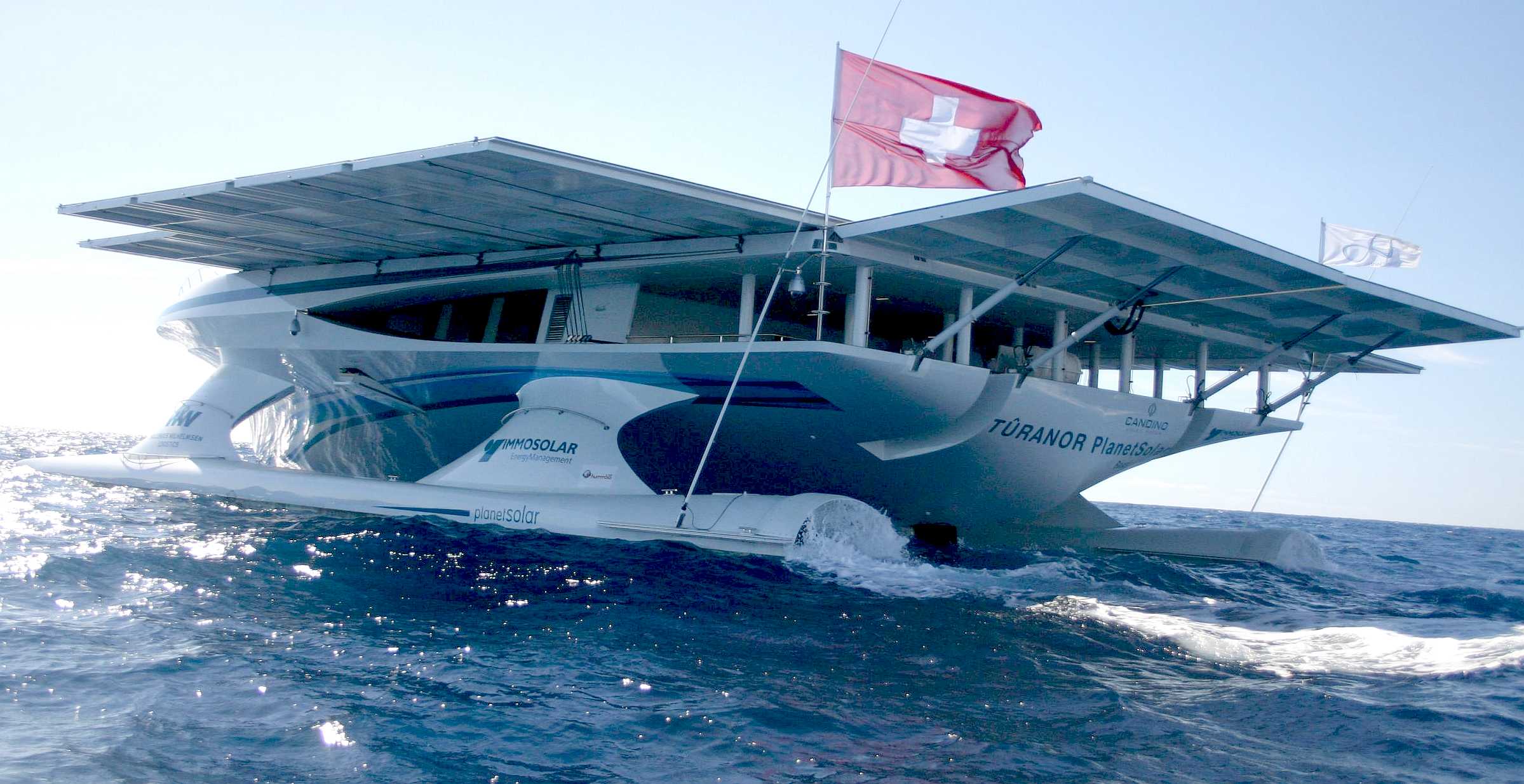
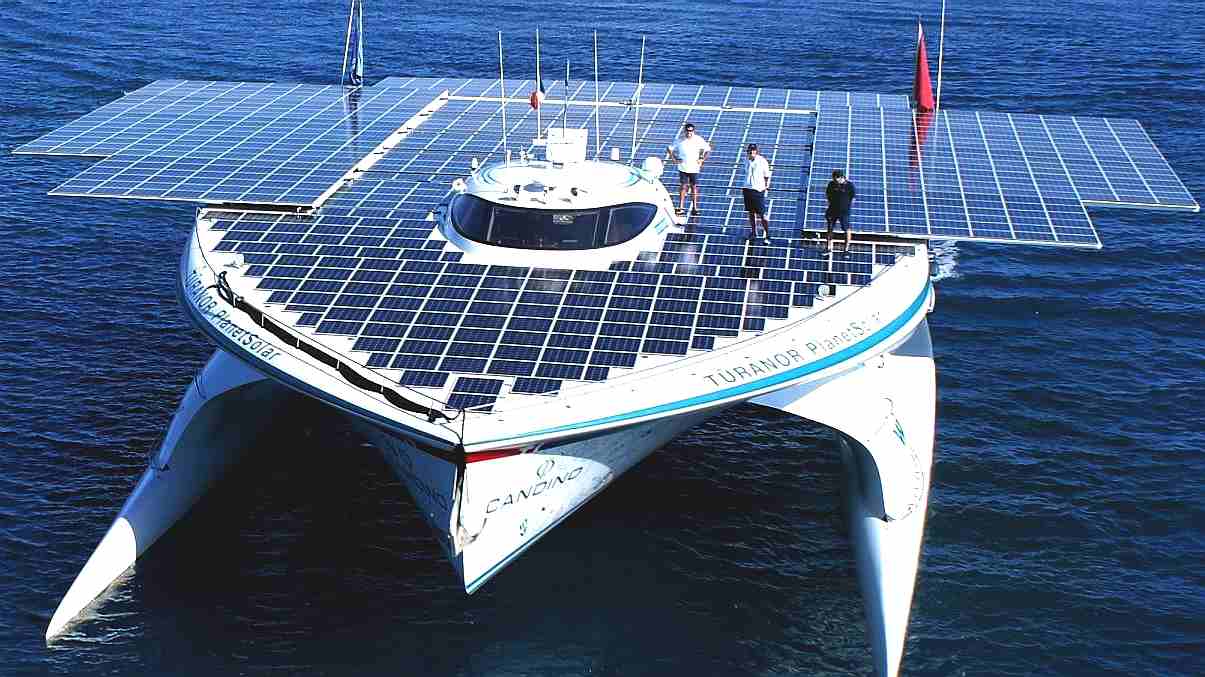
PlanetSolar heading out into uncharted technical waters. The theory was in place, but nobody knew if this solar powered boat could make it. But they did! The solar panel area on this ship was increased with solar panels on rollers, pulled out by the crew using winches. The Elizabeth Swann uses robotics and hydraulics to move solar wings that automatically track the sun, and fold away in storm conditions.
WP4.
GIS, GEOSPATIAL AI INCORPORATION
Programming tailored software to be able to interface with other onboard robotics (AI) systems to generate data sets as to geographical location and performance, as Geospatial raw data - aiming for predictive analytics potentially capable of analyzing data to foresee transit outcomes and provide actionable route planning and design solutions.
This WP is to include intuitive management, preparation and cognitive analytics as (human-ish) thought/learning patterns to dissect complex data and reveal deeper insight to the zero carbon and renewable energy ocean transport problem, most specifically for wind and solar powered, electrically propelled vessels.
WP3. PLATFORM BUILD WP4. GIS, GEOSPATIAL AI INCORPORATION WP5.
SATELLITE CYBER SECURITY, CLOUD, IoT
WP11. ONBOARD/OFFBOARD VESSEL SECURITY WP12. AUTONOMOUS CIRCUMNAVIGATION ATTEMPT WP13. COLREGS COMPLIANCE LAW & LOBBYING
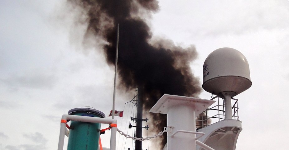
The Cleaner Ocean Foundation works to help protect the "seven seas" from the effects of anthropogenic atmospheric pollution like this ship that is belching diesel fumes like there is no tomorrow. We'd like to preserve tomorrow for our children. You can help us to make this scene a thing of the past.
WHY ARE WE DOING THIS?
Because we can, and because we can, we must.
|
|
|
Please use our A-Z INDEX to navigate this site
This website is Copyright © 2020 Jameson Hunter Ltd
|


